


In recent years, the state of Kerala has had a number of landslides of various severity. The Kerala State Disaster Management Authority has accepted the National Centre for Earth Science Studies' landslide susceptibility maps (2010) as a legitimate document, and the map's KMZ/KML files have been published on their website for reference. Geologists from the Department of Mining and Geologists use such maps to assess the suitability of mining areas.
The following paper, published in the Land journal, made attempts to assess the landslide susceptibility in parts of Western Ghats and has investigated various models and compared current susceptibility maps for Kerala.

The 2021 landslide-hit Kootickal area of Kottayam District was
chosen for the study. The study's findings provide mining geologists with some
insight into the parameters to consider when analysing an area's landslide
risk. There is no doubt that excessive rain is a major triggering element for a
landslide. Rainfall statistics from 2018 onwards demonstrate that high
intensity rains can occur in any location in Kerala, particularly in the
Western Ghats, and there is no method for a mining geologist to predict whether
a high intensity rainfall will occur or not. In terms of rainfall, it is
usually best to assume the worst-case scenario.
. However, the mining geologists
have to look into the conditioning factors like slope, soil, land use/land cover,
geomorphology, road buffer, lithology etc. The two important conditioning
factors are slope and soil type.
 |
| Excerpt from the article |
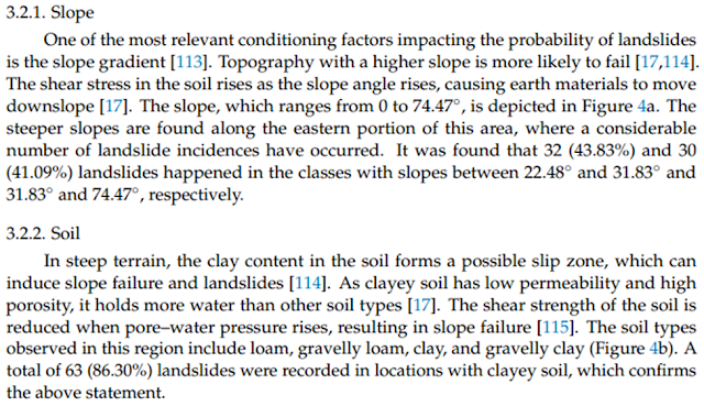
It is worth noting that 32 (43.83%) and 30 (41.09%) landslides happened in the classes with slopes between 22.48◦ and 31.83◦ and 31.83◦ and 74.47◦ , respectively. From these data it is evident that, in Western Ghats, the land with 22.48◦ are vulnerable for landslide. It is also important to note that a total of 63 (86.30%) landslides were recorded in locations with clayey soil. Hence, in the Western Ghat areas of Kerala, areas having slopes more than 22 degrees and having thick clayey soil cover are vulnerable to landslide if high intensity rainfall occurs. Since intensity of rains cannot be predicted, the mining geologists can count on two key conditioning factors: slope and soil.
It is worth reading this article published in Land Journal.
Download:


0 Comments